 |
Structural Design? | Plate Tectonics? | 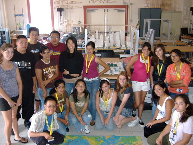 |
|
|---|---|---|---|---|
| Today's Quakes? | Energy Dissipation? | Seismic Hazards? | ||
| Resonance? | California Seismicity? | Seismic Faults? |
 |
 |
 |
 |
 |
|---|---|---|---|---|
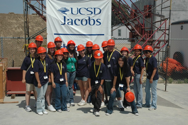
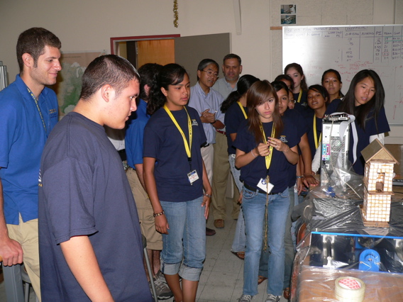
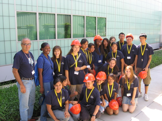
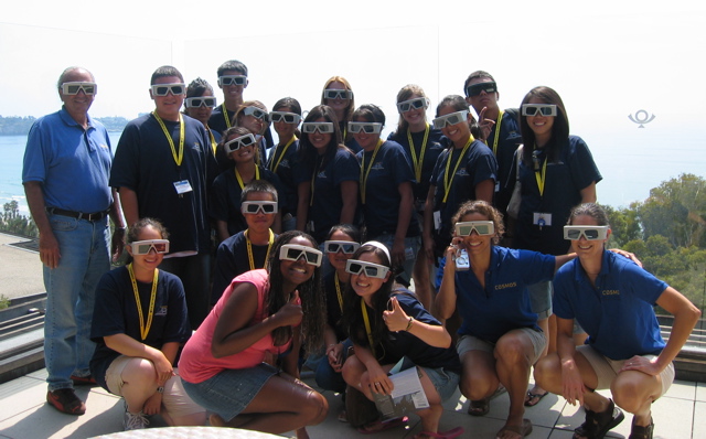
| COSMOS 2006 Picture Gallery | ||||
Class Times and Location: University Center 409 -- Monday, Wednesday, Friday 9:00 AM – 12:00 PM (Structures) 1:00 PM – 4:00 PM (Geophysics)
Cluster Course Description Structures: A major earthquake could cause billions of dollars of damage to our civil infrastructure systems, such as buildings, bridges, dams, and life-lines, as well as significant loss of lives. In the last few decades, significant understandings and technological advances have been made as to how an earthquake occurs, how buildings and bridges respond to earthquakes, and how we can improve the resilience of our built environment to earthquakes through innovative engineering. This course will provide a basic understanding of how a structure will react to an earthquake through fundamental principles of physics and mathematics and how we can protect structures from major damage and collapse. The portion of the course will consist of lectures, educational videos, hands-on experiments, field trips, and a final project. Geophysics: Ever wonder why earthquakes occur? Ever wonder if your hometown lies along the path of an active earthquake fault? And just what is that San Andreas fault all about anyway? In this course, we will learn the answers to these questions and more, exploring the basics of plate tectonics on our active planet with an up-close and personal view of the mighty San Andreas Fault System, California’s very own earthquake machine. Students will use state-of-the-art 3D computerearthquake models to help understand seismic hazards in California and test their own theories of stress build-up on fault systems. Students will also analyze real seismograms of P- and S- waves that reveal important properties of Earth’s interior. Students will also learn how seismometers operate and have the opportunity to construct their own hand-held version of a seismometer. This portion of the course will also consist of lectures, hands-on experiments, computer-based exercises, field trips, and a final project. Where will yoube - or more importantly - what will youknow - when the next “Big One” occurs? Scientific Communication: The need to communicate ideas is self-evident. In the science communications course the student will learn to communicate effectively orally and in writing. The course concludes with student presentations of their research. The course trains the students to work in teams, to apply the scientific method, and in the use of presentation tools: including PowerPoint, EXCEL, poster boards, and graphing. Furthermore, the science communications course provides a bridge connecting the students’ knowledge base and the demands of the Structures and Geophysics courses. Cluster Schedule
Field Trips
Textbooks and Supplementary Reading We will not be following any specific textbook for the course, although some books will be made available to students during the COSMOS session for enjoyable, light reading. When necessary, these books will be provided. Sometimes supplementary reading will also be made available on our cluster course website (see web address above). This reading material may come in the form of website links or other documents that students can read on the computer or print out (pdf’s). Students will be notified on a daily basis about supplementary reading material. Homework Homework will not be assigned on a daily basis, although there may be days when extra time will be needed (outside of class) to complete a worksheet or finish up a lab. Occasionally researching something on the web outside of class may also be necessary.
Final Projects Each student must prepare one final project for their cluster, of which they will present at the end of the program. Students are encouraged to continue research presentations through competitions and in their home communities. As a student of the Earthquakes in Action Cluster, you may either choose between one of the suggested Final Projects from either the Structural Design or Geophysics of Earthquakes lists.
For your final project, you may work in groups of two. You must sign up for a Final Project by Friday, July 14th. Projects will be issued on a first-come, first-serve basis, so make sure that you have a back-up choice. To sign up, please see Jerry (Teacher Fellow) for the sign-up sheet. The Final Project will consist of three components:
Oral presentations will be given on Friday, August 4th during class. Poster presentations will be showcased on Saturday, August 5th at the COSMOS Closing Ceremonies.
Topics for Final Projects: Project #1. Resonance is a physical phenomenon that can occur when a structure is subjected to dynamic loads, such as earthquake and wind loads. It can lead to significant structural damage and catastrophic failures. However, we can enjoy music from musical instruments because of resonance. Do a study to find examples of resonance within and outside structural engineering. Explain how it occurs and set up a simple demonstration. (Structures) Project #2. Base-isolation devices come in many different forms including springs combined with dampers. They are used to isolate the effect of mechanical vibrations (such as machine vibrations) in a building and also for the protection of structures against earthquake loads. Do a study to find examples of base-isolated structures for earthquake protection and setup a simple demonstration of the concept. (Structures) Project #3. Do a study on a past earthquake event, such as the 1989 Loma Prieta earthquake or the 1994 Northridge earthquake. Describe the geophysical aspects of the earthquake, such as the faulting mechanism, magnitude, and location of the epicenter. Describe how the earthquake affected buildings and bridges and how modern engineering standards helped. Get a couple of digitized ground motion records obtained from different locations during the earthquake and see how they affect a structure using the small shaker. (Structures) Project #4. Do a study on how old brick buildings were affected by earthquakes, and what has been done in California to improve the seismic safety of these buildings. If you were an engineer, what engineering solutions would you propose to improve their seismic protection? (Structures) Project #5. The Parkfield Prediction – The Parkfield segment of the San Andreas fault has been the location of numerous earthquake studies on prediction techniques. This is due to the fact that the Parkfield segment has ruptured in over five M>6.0 earthquakes in the last 100 years, each separated by approximately 20 years. However, the most recent Parkfield earthquake (2004) took place almost a decade later than was predicted for the latest sequence of quakes! For this project, you will identify the characteristics of the past Parkfield earthquakes (dates, locations, depths, magnitudes) and plot these data in Excel. From these data, you will explain how the prediction was generated and the scientific reasoning behind the Parkfield Prediction Experiment. Finally, you will use recent earthquake data collected over the last two years from the Parkfield region to inspect recent seismicity since the last Parkfield Earthquake. You will plot these data using 3-D visualization software according to time, location, and depth. From these data you will draw conclusions about what happened during (and after) the 2004 Parkfield earthquake. (Geophysics) Project #6. Earth’s Greatest Quakes – The largest recorded earthquakes (M~8+) since the time of modern instruments have occurred over a spread of geographic locations within the Earth’s crust. The largest of earthquakes have been generated by a variety of tectonic plate boundaries and at a variety of crustal depths. For this project, you will explore the data that exist for Earth’s largest recorded quakes since 1900 and compile a database of quake locations, depths, dates of occurrence, and magnitude. You will then plot these data using 3-D visualization software according to temporal sequence of events, earthquake depths, magnitude of each earthquake, and plate boundaries that generated each quake. You will also be required to provide background history of the 10 largest recorded earthquakes. (Geophysics) Project #7. Global Earthquakes – Seismologists have been compiling a catalog of over 70,000 seismic events of global earthquakes since 1964, often called the Engdahl catalog after Dr. E. R. Engdahl, one of the leading contributing scientists to this database. Just recently, this catalog has been updated to include all data recorded up to 2002 (prior catalog only spanned years 1964-1994). For this project, you will use the updated 2002 Engdahl catalog to plot global seismicity from 1964-2002 using 3-D visualization software. You will categorize the data into groupings of earthquake magnitude and temporal sequence and interpret these data in 3-D. You will also use the visualization software to view earthquake depths along plate boundaries and to identify subducting crustal slabs. Finally, you will provide a brief summary of 3 subducting plates that can be identified with the data. (Geophysics) Project #8. Southern California’s Quakes – Southern California is one of the most seismically active regions in the United States; such activity is due to the many active faults in the region and can easily be observed by gathering data of California quakes over the last ten years. For this project, you will collect all existing earthquake data recorded for southern California over the past 10 years and plot these data using 3-D visualization software. You will plot the data according to geographic location, depth, and magnitude, and time. Using the 3-D seismicity you have plotted, you will then identify at least 10 fault planes in southern California and locate these on a fault map. You will also identify locations of recent major earthquakes (eg., Landers & Hector Mine Earthquakes) and provide a brief summary of these events. (Geophysics)
Useful Links: Global Earthquake Data: http://www.iris.edu/quakes/eventsrch.htm Global Earthquake Monitor: http://www.iris.edu/seismon/ California Earthquakes: http://quake.wr.usgs.gov/recenteqs/latest.htm Southern California Earthquakes: http://eqinfo.ucsd.edu/dbrecenteqs/anza/AZ_R_map.html Faults of Southern California: http://www.data.scec.org/faults/faultmap.html Computing Earthquake Magnitudes: http://siovizcenter.ucsd.edu/library/TLTC/TLTCmag.htm Jules Verne Voyage Website: http://jules.unavco.org/VoyagerJr/Earth Plate Tectonics Puzzle: http://atlas.geo.cornell.edu/education/student/continental_puzzle.html Shake Maps: http://pasadena.wr.usgs.gov/latest/shakingmaps.html Global Topography Map: http://www.ngdc.noaa.gov/mgg/image/2minrelief.html Earthquake Simulator: http://www.iris.edu/edu/10.5/EQSimulator.html Tsunami Database: http://tsun.sscc.ru/tsun_hp.htm Tsunami Visualizations: http://serc.carleton.edu/NAGTWorkshops/visualization/collections/tsunami.html Seismic Wave Travel-Time Calculator: http://neic.usgs.gov/neis/travel_times/ Earthquake Glossary: http://www.eqinfo.ucsd.edu/glossary/index.html SIO Visualization Center: http://siovizcenter.ucsd.edu/ Animations: http://www.pbs.org/wnet/savageearth/animations
|
|---|